|
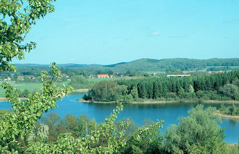
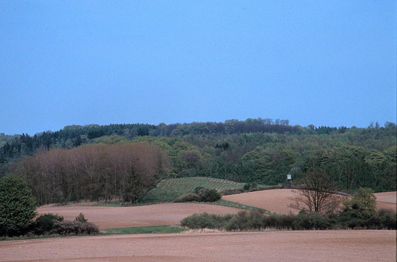
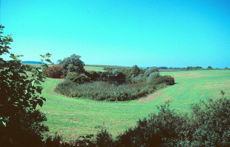
The National GeoPark Eiszeitland am Oderrand is located in the northeast of the state of Brandenburg. It covers most of the two administrative districts Barnim and Uckermark as well as the northern part of Märkisch-Oderland. With its area of 3,487 km2 it corresponds to the average of GeoParks in Germany. The landscape has been shaped by glaciations during the latest glacial stage the Weichsel glacial stage 15,000 years ago. The GeoPark is because of its location in the state of Brandenburg part of the Central European Plain. The area of the GeoPark includes in the northeast parts of the Uckermärkisches Hügelland (Uckermarkian Hill Country), in the south the Schorfheide, the Britzer Platte (Britzer Plate) as well as a part of the Eberswalder Urstromtal (Eberswalder Glacial Valey) with connections to the Oder Valley in the east and to the Barnimplatte in the south. Within the GeoPark four Großschutzgebiete (large protected areas) are located, as well as, with a total length of 340 km, the holiday and adventure trail "Märkische Eiszeitstraße".
|
|
|